Found in Craig County, Virginia, this easy trail follows Bald Mountain and has some breathtaking views of the Blue Ridge Mountains! (not to be confused with the other Bald Mountain aka Big Levels. This trail is sometimes called Finwick Mines trail)
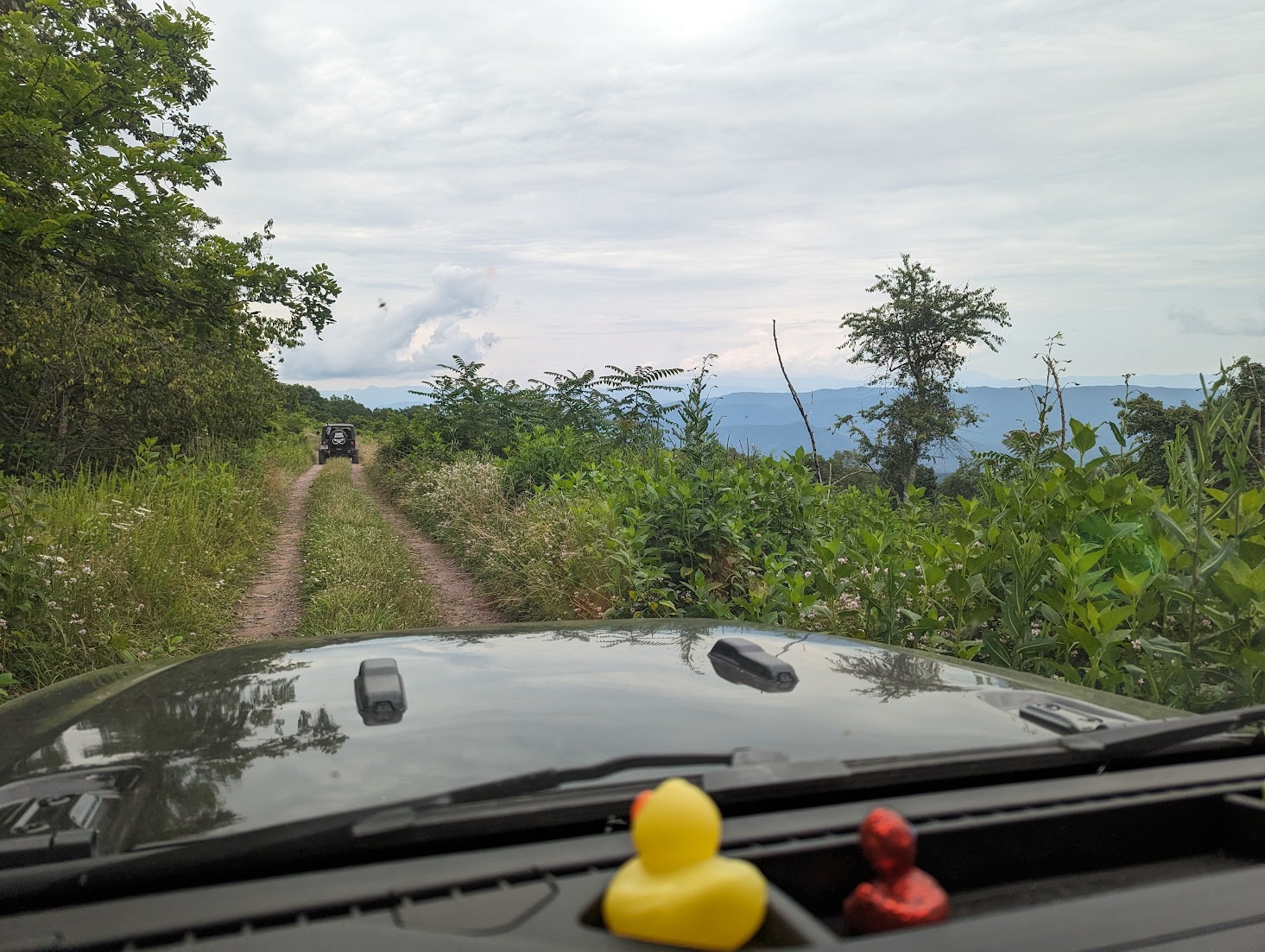
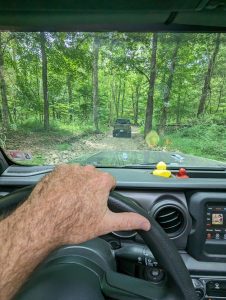
Bald Mountain Trail (Finwick Mines), also known as the Big Levels Jeep Trail, is a notable off-road route located in Virginia’s George Washington National Forest. The trail offers a mix of terrains, including mud pits and rock obstacles, providing a comprehensive off-roading experience.
Key Details:
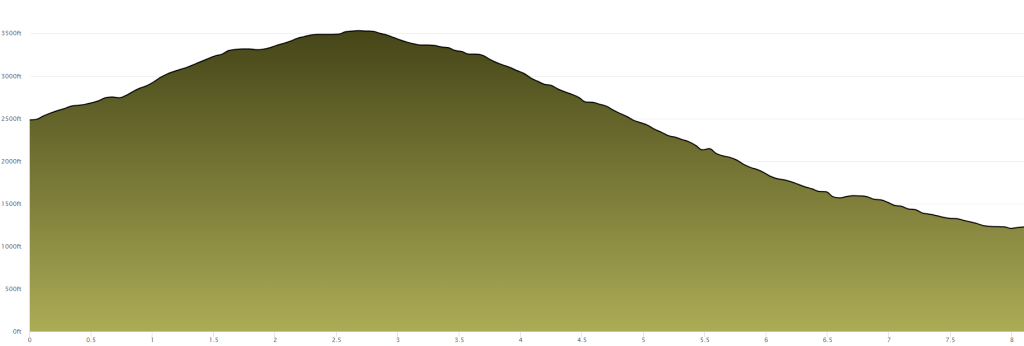
- Length: Approximately 10 miles
- Elevation: The trail ascends towards the Blue Ridge Parkway, reaching elevations up to 3,564 feet.
- Seasonal Accessibility: Typically open from April 1 to January 10
- Trail Type: Two-way, straight-through route

Trail Characteristics:
The trail begins at Forest Road 42 (Coal Road) and ascends towards the Blue Ridge Parkway. It features a variety of challenges, including mud pits and rock obstacles, making it suitable for vehicles equipped with four-wheel drive and appropriate ground clearance. The trail is considered stock-friendly under normal conditions.
Preparation and Safety:
- Vehicle Requirements: A four-wheel-drive vehicle with adequate ground clearance is recommended.
- Weather Considerations: Check weather forecasts before your trip, as trail conditions can change significantly after rainfall.
- Navigation: Carry a detailed map or GPS device, as cell service may be unreliable in this remote area.
- Camping: Dispersed camping is available along the route. Travelers are encouraged to practice Leave No Trace principles and check for any required permits or fees.
Directions from I-81 to Bald Mountain Trail
- Start on I-81:
- If you’re traveling northbound, take Exit 141 for Route 419 toward Electric Road.
- If you’re traveling southbound, take Exit 141 for Route 419 toward Electric Road.
- Merge onto Route 419:
- Continue north on Route 419 (Electric Road) for approximately 0.4 miles to the round about at Route 311.
- Turn onto Route 311:
- Turn right onto Route 311 North and continue for about 10 miles.
- Arrive at New Castle:
- Continue on Route 311 North into New Castle, the county seat of Craig County.
- Turn onto Route 42:
- Turn right onto Route 42 North (Main Street) and continue for approximately 1 mile.
- Turn onto Route 615:
- Turn left onto Route 615 West (Johns Creek Road) and follow it for about 7 miles.
For a visual overview of the trail, you might find the following video helpful:
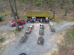
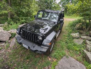
Member Photos of Bald Mountain/Finwick Mines
Member Photos of Bald Mountain Trail
Want to contribute to this page?
If you have images, information or insights to this trail, email us and let us know. We will update the page with your media or information, even if you are not a member.
Here are a few videos worth watching should you want to hit up Bald Mountain. There are a few water pits to be aware of, they might be deep depending on the type of rig you are rocking!
One response
[…] Bald Mountain Trail in Craig County has always been one of the quiet gems of western Virginia—dense woods, miles of remote forest road, dispersed campsites tucked into the tree line, and peaceful pull-offs overlooking ridges shaped by centuries of wind. It’s not the famous “Bald Mountain Jeep Trail” near Sherando; this is the lesser-known Craig County route that locals rely on for hunting access, camping, and solitude. […]