
Module 5 – Navigation & Terrain Reading
Expert off-roaders navigate beyond trail maps — they read the land.
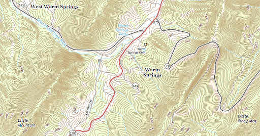
Topographic maps reveal elevation changes through contour lines. Closely spaced lines indicate steep slopes; wide spacing means gradual terrain. Learning to identify gullies, ridgelines, and saddles from a map allows for better route planning before even setting tire to dirt.
GPS devices with elevation overlay allow you to plot waypoints factoring in vertical gain. For example, a trail that’s 4 miles with 1,200 feet of elevation gain may require gearing changes or fuel adjustments compared to flat terrain.
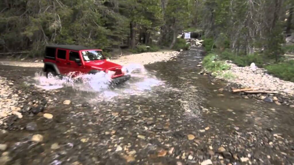
When crossing water, evaluate flow rate, depth, and substrate. Seasonal snowmelt or storms can turn a shallow crossing into a dangerous, axle-deep hazard. Look for eddies or debris lines to gauge water movement and depth.
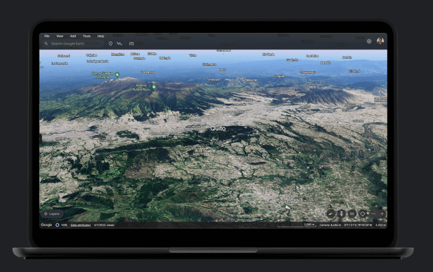
Satellite imagery is an advanced planning tool. Programs like Google Earth Pro let you check historical imagery for changes in riverbeds, trail erosion, or vegetation — indicators of shifting terrain.
Always use damper blankets on recovery lines to reduce recoil risk if a line fails.