Learn more about this trail that follows the Blue Ridge Parkway and flows through a tunnel under the parkway that doubles as a creek.
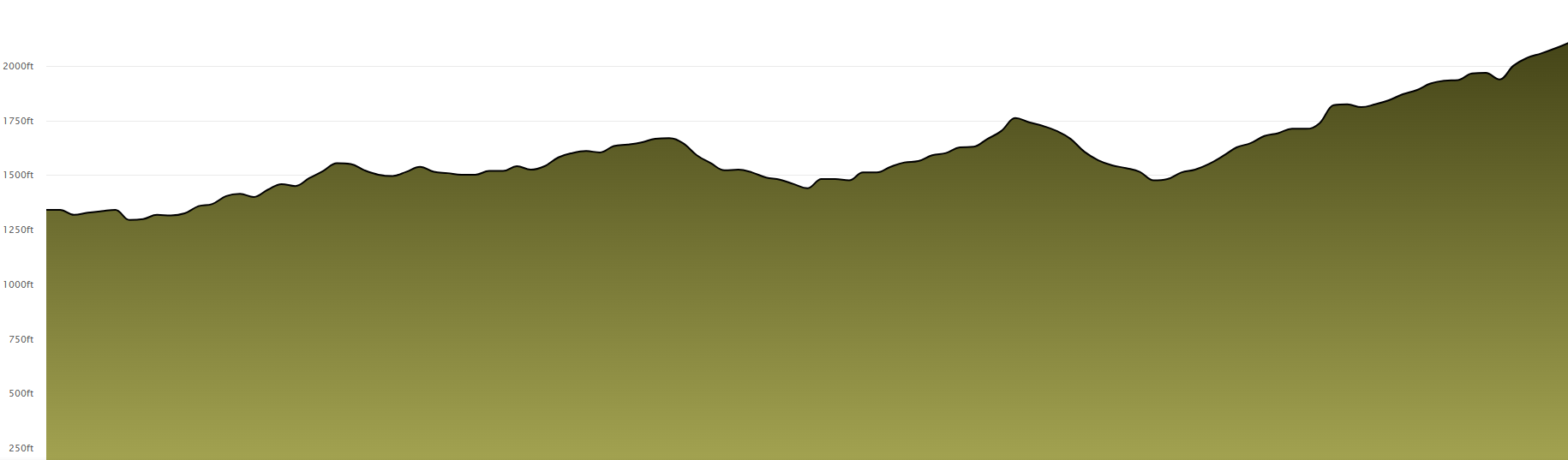
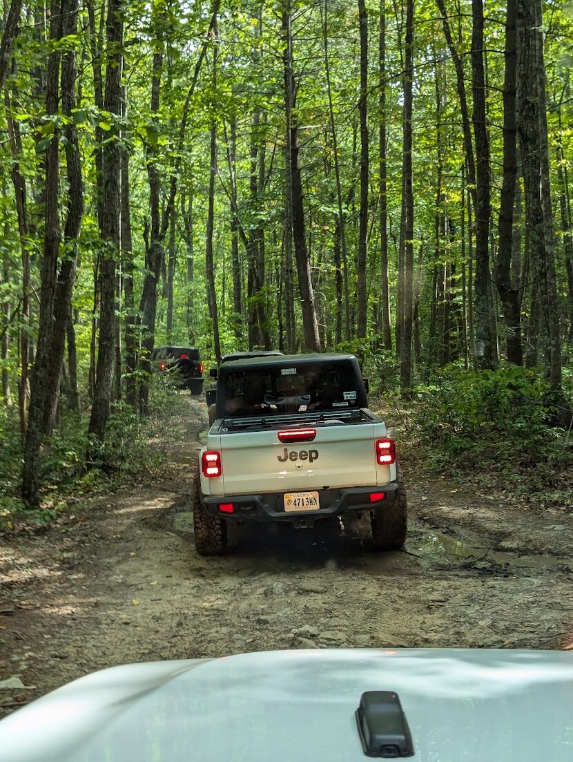
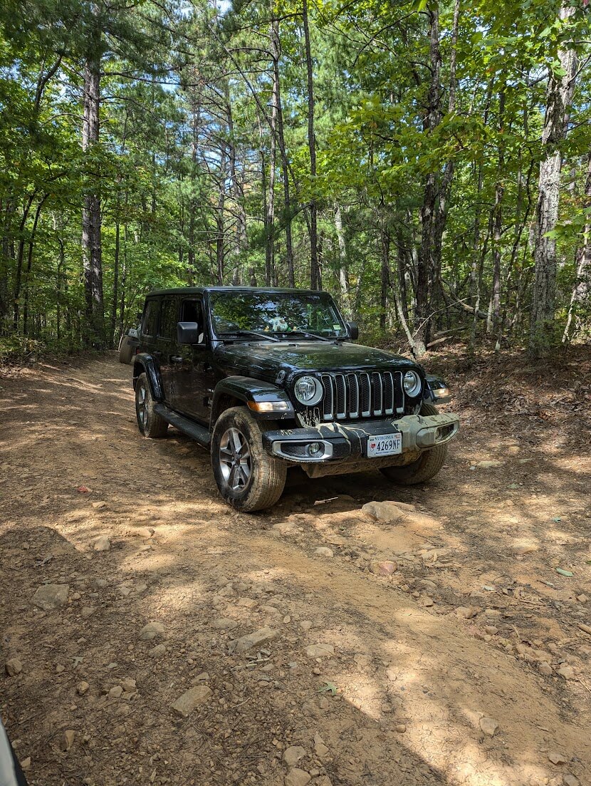
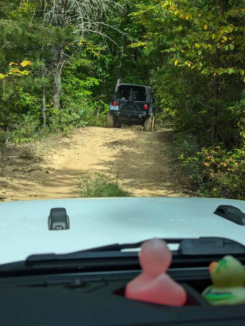
Enchanted Creek Trail is a 7.6-mile off-road route located in Virginia’s George Washington National Forest, adjacent to the Blue Ridge Parkway. The trail begins as a gravel road paralleling the parkway and descends into rougher terrain with natural dirt surfaces, rocks, mud, and stream crossings.
Open: August 1st each year
Closed: Janaury 1st each year
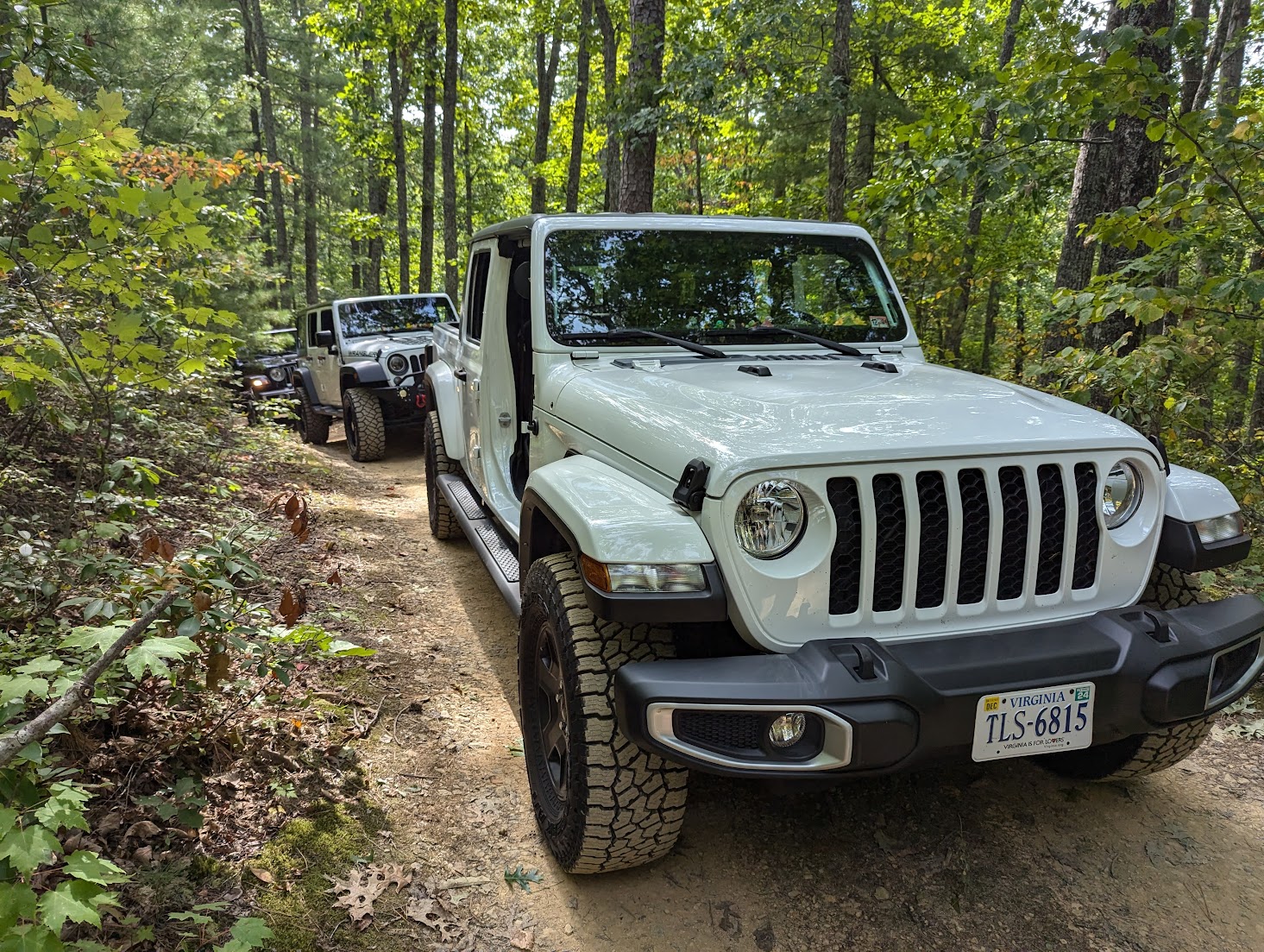
Stock rigs can handle this trail with ease.
Take I-81 to Exit 188A (Buena Vista / US-60 East). This is about halfway between Lexington and Natural Bridge.
Follow US-60 East toward Buena Vista. Go about 5.5 miles down the mountain into Buena Vista.
In Buena Vista, turn left onto US-501 North / Beech Avenue. This heads you back toward the Blue Ridge Parkway.
Follow US-501 North for about 2.5 miles, then turn right onto VA-634 / Robinson Gap Road. Robinson Gap Road climbs back up toward the Parkway.
Stay on Robinson Gap Road about 5 miles until you reach the Blue Ridge Parkway crossing (Milepost ~51). This is the northern access point to the Enchanted Creek Trail.
Alternative Entrance
Instead of Robinson Gap Road, you can continue along the Parkway a little further south to Milepost 53.7 (near Rice Mountain Overlook).
There’s another entrance to the trail here that some people prefer depending on traffic or direction of travel.
Best way to attempt the Trail: From the Blue Ridge Parkway.
Approximately halfway through the trail, travelers encounter a tunnel passing beneath the Blue Ridge Parkway, adding a unique feature to the journey. The trail then ascends back toward the parkway, with most sections remaining solid and manageable with good tires.

The trail is generally considered stock-friendly, suitable for vehicles equipped with four-wheel drive and a transfer case. However, conditions can vary, and it’s advisable to verify trail status and prepare accordingly before embarking on the journey.
Enchanted Creek Trail is a seasonal route, typically open from August 1 to early January. Travelers should plan their trips within this timeframe and verify current trail conditions and accessibility before setting out.
Links to this Trail:
For a visual overview of the trail, you might find the following video helpful:
Member Photos of Enchated Creek:

Want to contribute to this page?
If you have images, information or insights to this trail, email us and let us know. We will update the page with your media or information, even if you are not a member.
After doing the trail, you’ll exit and can return to the Parkway—either north or south—and head back to Roanoke or continue exploring more of the area.
Check out some great videos we found on Enchanted Creek Trail, it’s a lot of fun to ride up along the Blue Ridge Parkway, just remember it’s only open from August 1st to Jan 1st of each year.
2 Responses
Is this ADV bike friendly?
Yes it sure is!