
Shoe Creek Trail (Also partly known as Crabtree Meadows), nestled in the heart of Virginia’s Blue Ridge Mountains, has long been a cherished destination for off-road enthusiasts.

Located near Tyro, Virginia, this trail offers a blend of natural beauty and challenging terrains, making it a sought-after spot for both seasoned adventurers and newcomers to the off-roading community.
Trail Overview
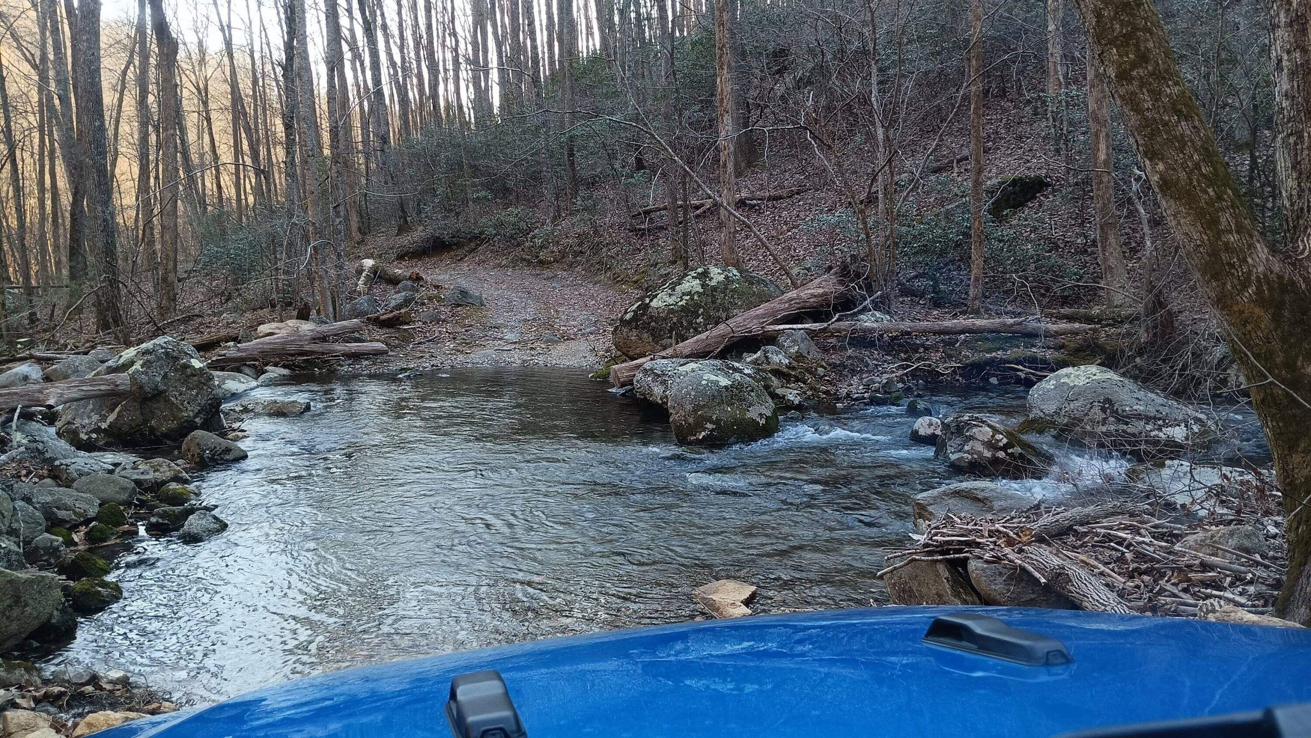
Traditionally, Shoe Creek Trail has been known for its rugged paths that wind through dense forests, cross bubbling streams, and navigate rocky inclines. The trail’s diverse obstacles have provided drivers with opportunities to test their vehicles and skills, all while immersing themselves in Virginia’s picturesque landscapes.

Access and Current Conditions
In recent years, access to Shoe Creek Trail has undergone significant changes. A portion of the trail, particularly the section known as the “Bullpen” or “Playground,” has been closed due to private property restrictions. This closure affects approximately one-third of the trail, limiting through-travel from one end to the other. Off-roaders can still access segments of the trail, but it’s essential to plan routes accordingly and respect all posted signs and property boundaries.
Alternative Routes and Nearby Trails
For those seeking similar off-road experiences in the vicinity, the George Washington National Forest offers several trails catering to various skill levels. One notable alternative is the Big Levels Trail, which, like Shoe Creek, provides challenging terrains and scenic views. Adventurers have combined trips to both Big Levels and Shoe Creek, making for extended weekend excursions.
Planning Your Visit
Before setting out, it’s crucial to:
- Check Current Trail Conditions: Given the evolving nature of trail access, always verify the latest information from local off-road clubs, national forest service announcements, or dedicated trail websites.
- Equip Appropriately: Ensure your vehicle is prepared for the trail’s challenges. Carry necessary recovery gear, first-aid supplies, and navigation tools.
- Respect the Environment: Stay on designated trails, pack out all trash, and be mindful of wildlife habitats. Practicing “Leave No Trace” principles helps preserve these natural areas for future generations.
Stock rigs can handle this trail.
1. Start on I-81 toward the Lexington / Buena Vista area
From I-81 North or South, take Exit 188A for US-60 East toward Buena Vista.
(Exit 205 takes you toward Pads Creek — that’s the incorrect set of directions.)
2. Take US-60 East toward Buena Vista
Continue on US-60 E for about 5 miles until you enter Buena Vista.
3. Go through Buena Vista and head toward the Blue Ridge Parkway
Follow the signs for US-501 S / VA-130 E briefly.
Then turn left onto VA-501 N / VA-130 E.
Continue a short distance and follow signs for Blue Ridge Parkway and US-60 E.
You’ll climb the mountain and reach the Blue Ridge Parkway.
4. Turn left (north) onto the Blue Ridge Parkway
Drive about 10 miles north along the Parkway.
You are looking for State Route 814 / Wiggins Spring Rd (unpaved forest road) near the Montebello area.
5. Turn left onto FS Road 814 (Wiggins Spring Road)
This is a gravel road that leads toward Crabtree Meadows.
Continue 2.5 miles up the mountain.
You will pass Crabtree Falls parking on the right if you kept going straight on VA-56, but since you’re coming via Parkway, you avoid the tight switchbacks.
6. Continue toward Crabtree Meadows
Follow FS 814 until it ends at Crabtree Meadows.
There’s limited parking.
7. Locate the Shoe Creek Trailhead
The Shoe Creek Trailhead (Trail # 50) begins at the upper edge of the Crabtree Meadows area.
Look for the marked Forestry Service signage.
Conclusion
While access to Shoe Creek Trail has changed over time, its legacy as a premier off-roading destination in Virginia endures. By staying informed and treading responsibly, enthusiasts can continue to enjoy the rugged beauty and challenges that this trail and its surrounding areas have to offer.
For a visual glimpse into the trail’s experience, you might find the following video insightful:
No responses yet