
Pott’s Mountain Jeep Trail is an extreme trail for serious off-roaders with very high clearance and additional mods. It’s by far one of the hardest trails we have in the Commonwealth.
Potts Mountain Jeep Trail Overview
*Not to be confused with Pott’s East , Pott’s West Trail or Bigfoot’s home, Mott’s Mountain.
Potts Mountain Jeep Trail, located in the George Washington and Jefferson National Forests in Virginia, is renowned for its challenging off-road terrain. This 7.4-mile point-to-point trail near Paint Bank, Virginia, is generally considered a moderately challenging route, offering a rugged experience for off-road enthusiasts.
Trail Characteristics:
The trail is characterized by steep, rutted, and rocky conditions along a narrow road. It is not recommended for standard 4×4 vehicles and requires high-clearance suspension and all-terrain tires.
Any heavily modded rig with lift, winch and larger than average tire setup, 35″+. May also want lockers on this trail.
Key Details:
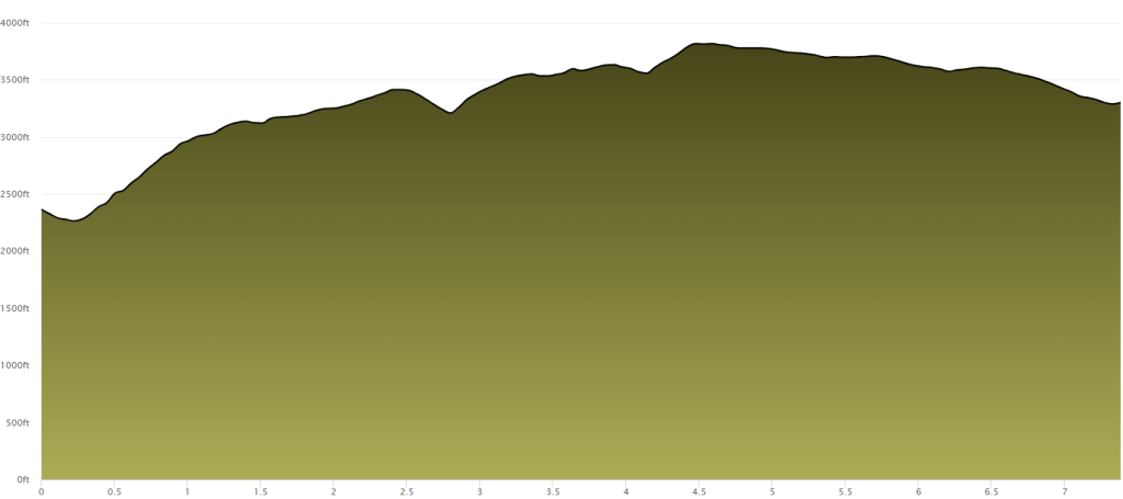
Length: Approximately 7.4 miles
Difficulty: Moderately challenging
Route Type: Point-to-point
According to the U.S. Forest Service (as of June 23, 2025), here’s the recommended route:
Exit I-81 at Exit 141 Take SR 419 (Electric Road) north toward SR 311.
Follow SR 419 north for a short distance until you reach SR 311.
Turn onto SR 311 (likely heading west/northwest), and follow it for approximately 20 miles.
Turn right onto VA 615 (Peaceful Valley Road) and continue for about 5 miles.
Turn left onto VA 611 (Peaceful Valley Road) and drive 4 miles.
Turn right onto VA 617, and travel 7 miles, passing Pines Campground.
Trali access point: LAT 37.6355 LONG -80.0516
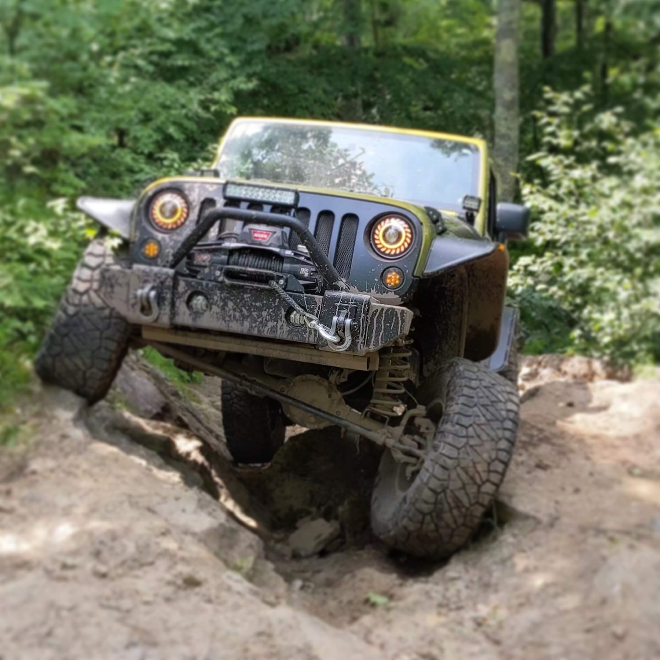
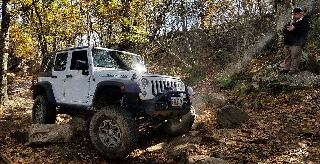
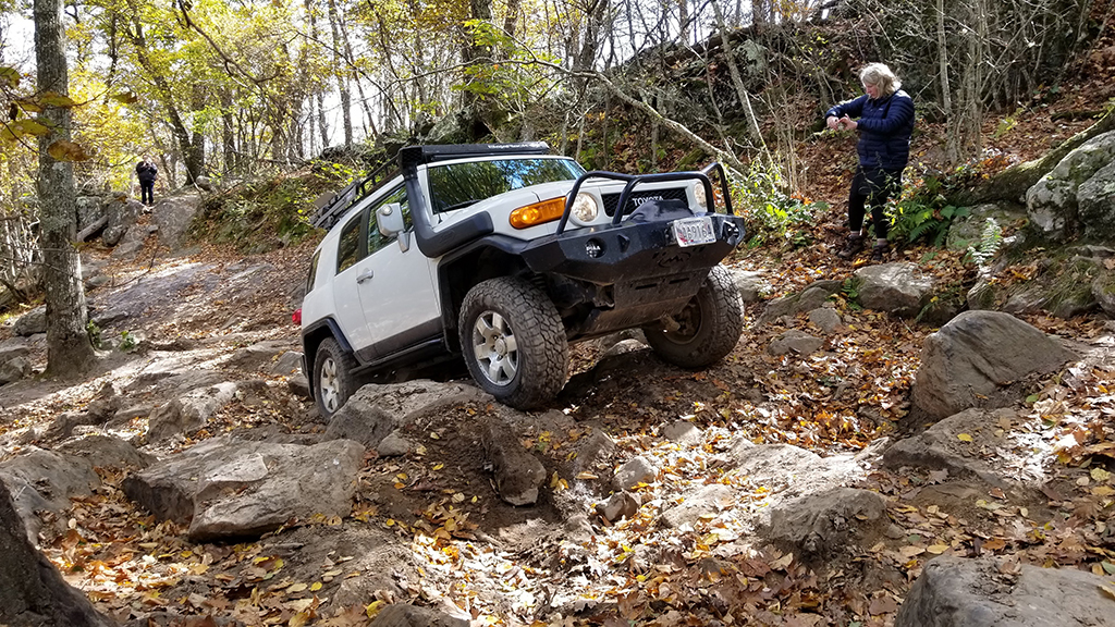
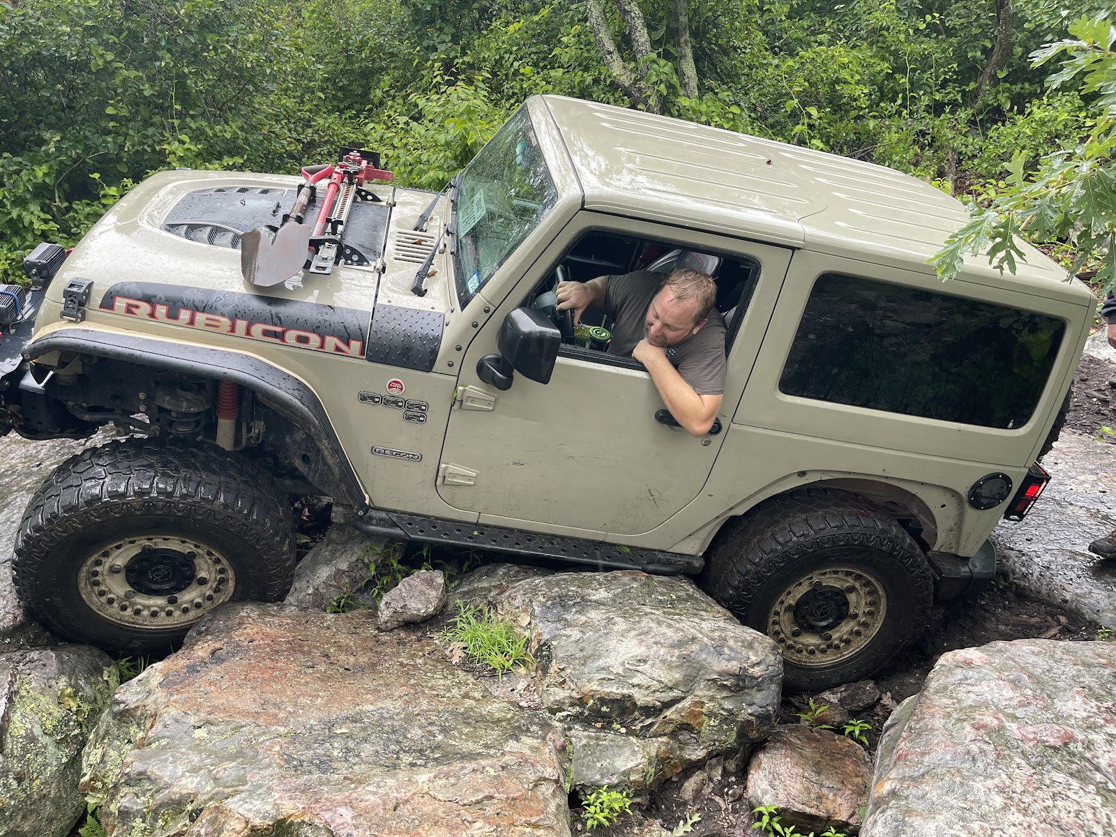
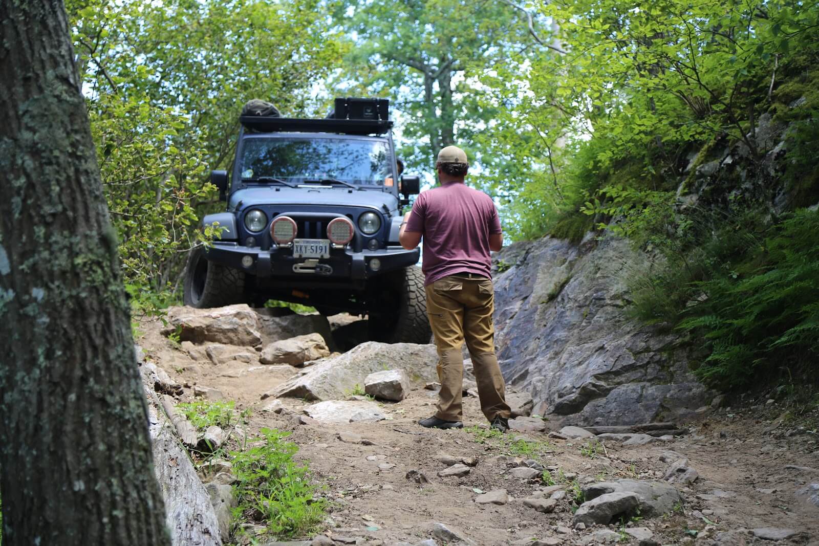
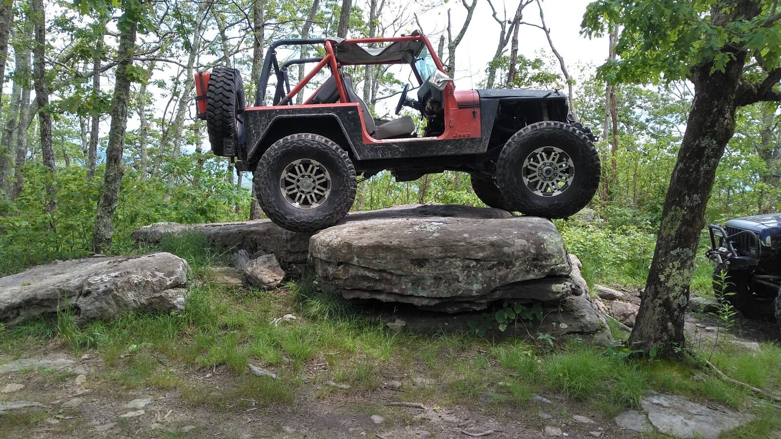
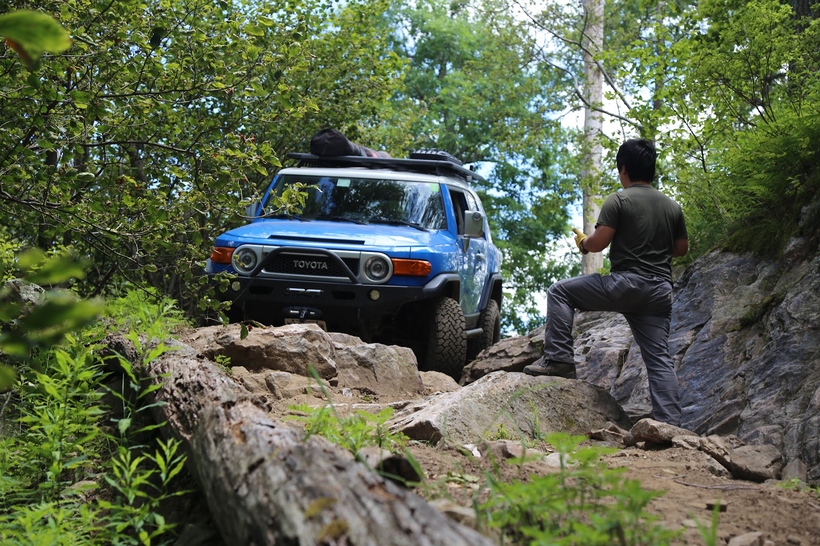
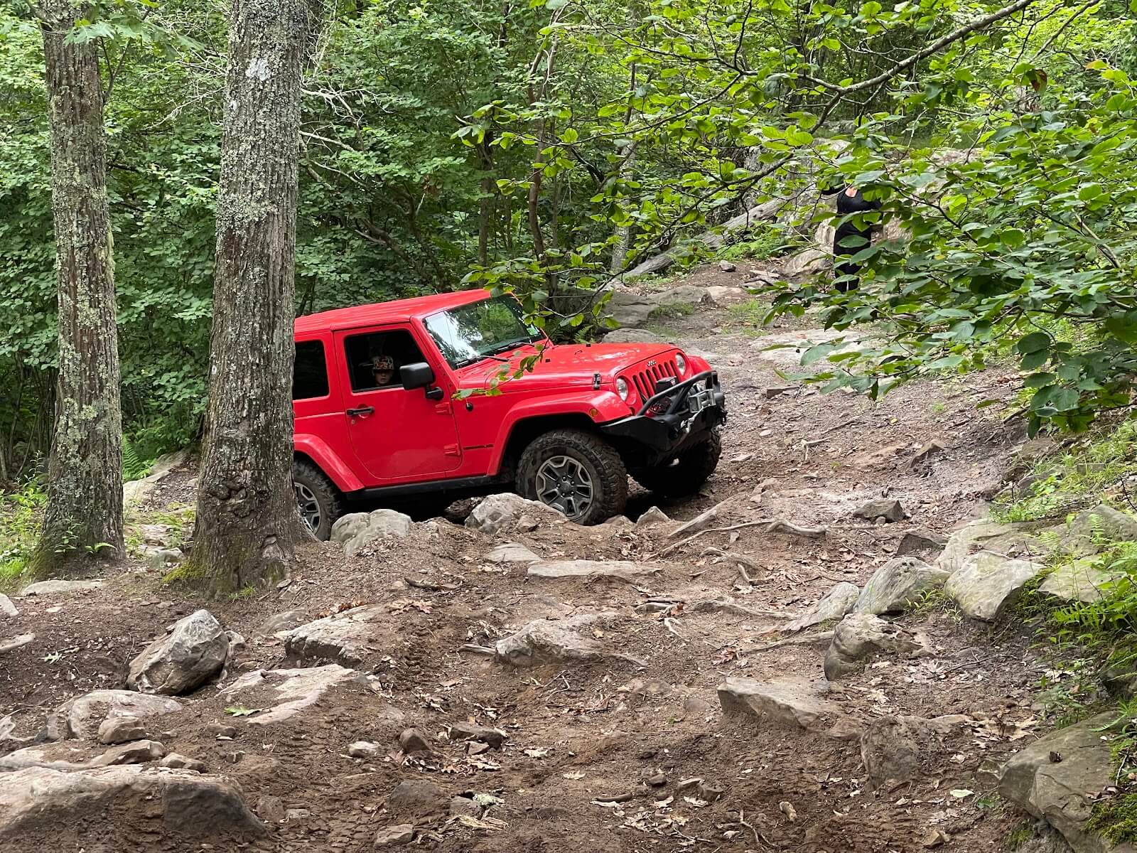
The upper end of the route is notably rocky with large boulders, and there are steep drops with quick transitions. As the route approaches the north end of the ridge, it goes through “The Valley,” a very technical section with plenty of large rocks and boulders embedded in the tread.
Preparation and Safety:
- Vehicle Requirements: A high-clearance, four-wheel-drive vehicle equipped with all-terrain tires is essential.
- Skill Level: Suitable for experienced drivers due to the trail’s technical challenges.
- Weather Considerations: Weather conditions can create further challenges; it’s advisable to check forecasts before your trip.
- Navigation: Carry a detailed map or GPS device, as cell phone coverage is spotty in this area.
- Camping: Camping is available at the Pines Campground, located three miles from the lower trailhead.
Other Links to Pott’s Mountain Informaiton

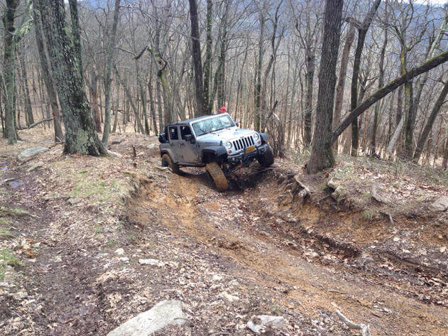
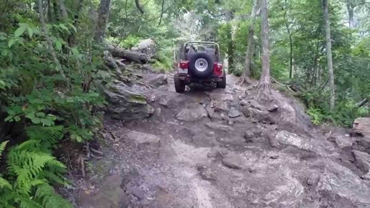
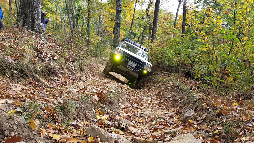
Images from Pott’s Mountain Jeep Trail
Want to contribute to this page?
If you have images, information or insights to this trail, email us and let us know. We will update the page with your media or information, even if you are not a member.
One response
[…] Pott’s Mountain Badges […]